Plotex
3D LAND MAPS
Loading Experience...
3D LAND MAPS
Transform traditional 2D paper maps into stunning interactive 3D visualizations. Navigate, explore, and understand your land investment with unprecedented clarity.
Everything you need to visualize, analyze, and share land plot information
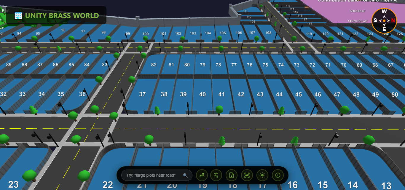
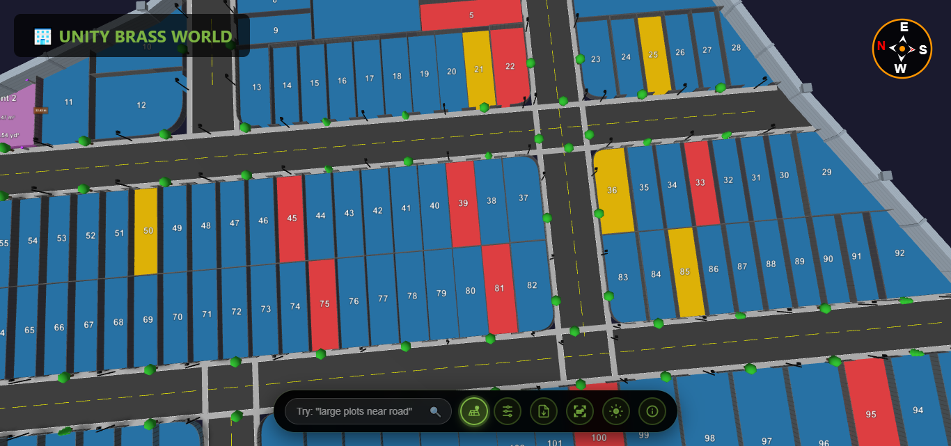
Interactive 3D environment with realistic roads, trees & boundaries
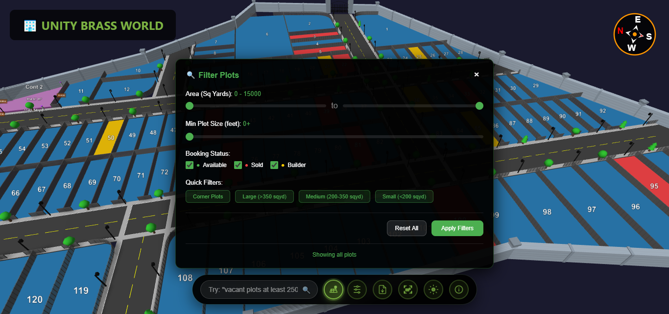
AI-powered search with natural language queries & filters
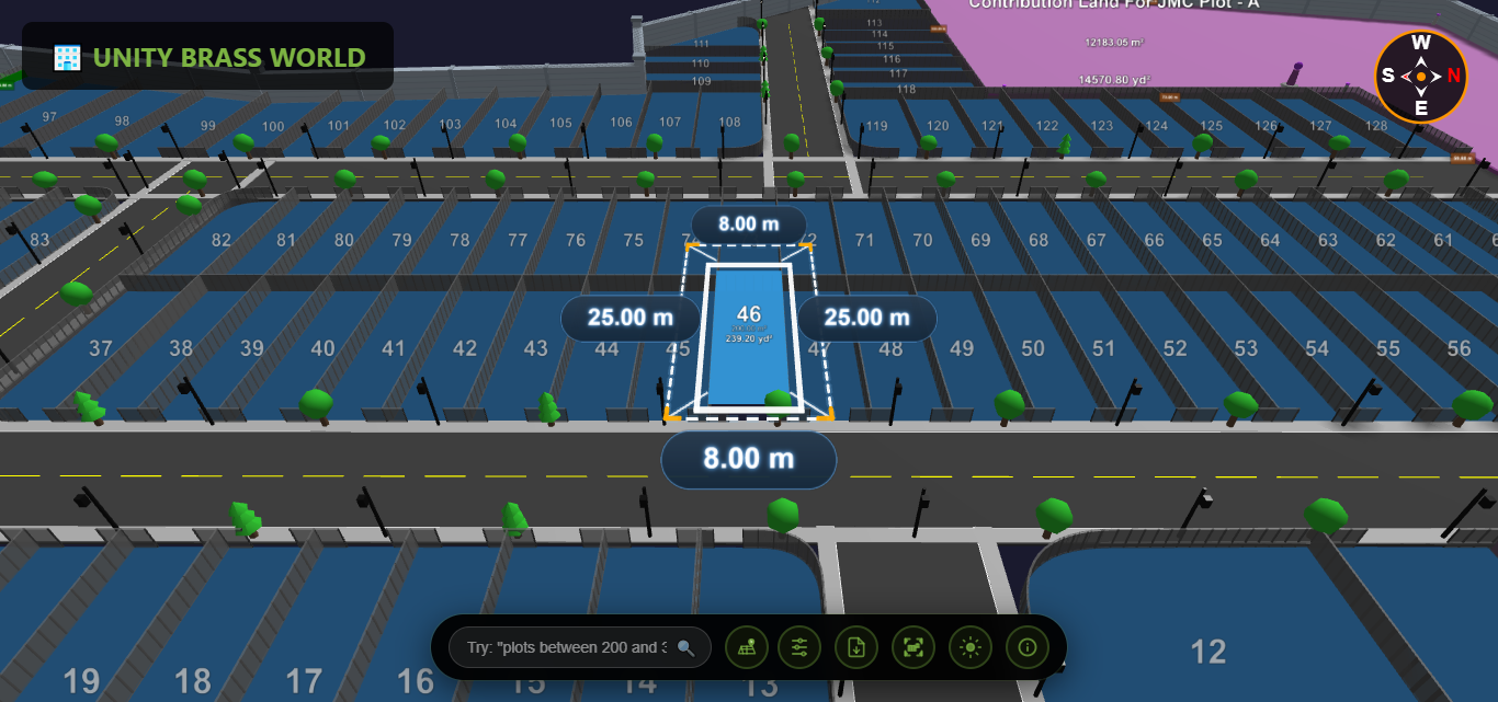
Exact dimensions & area calculations with professional accuracy
Instant identification of available, sold & reserved plots
Filter by area, price, road proximity & booking status
Share via link, QR code or embedded viewer instantly
Responsive design that delivers stunning 3D visualization across all devices
Pinch to zoom, swipe to navigate
Changes reflect instantly everywhere
Works without internet connection
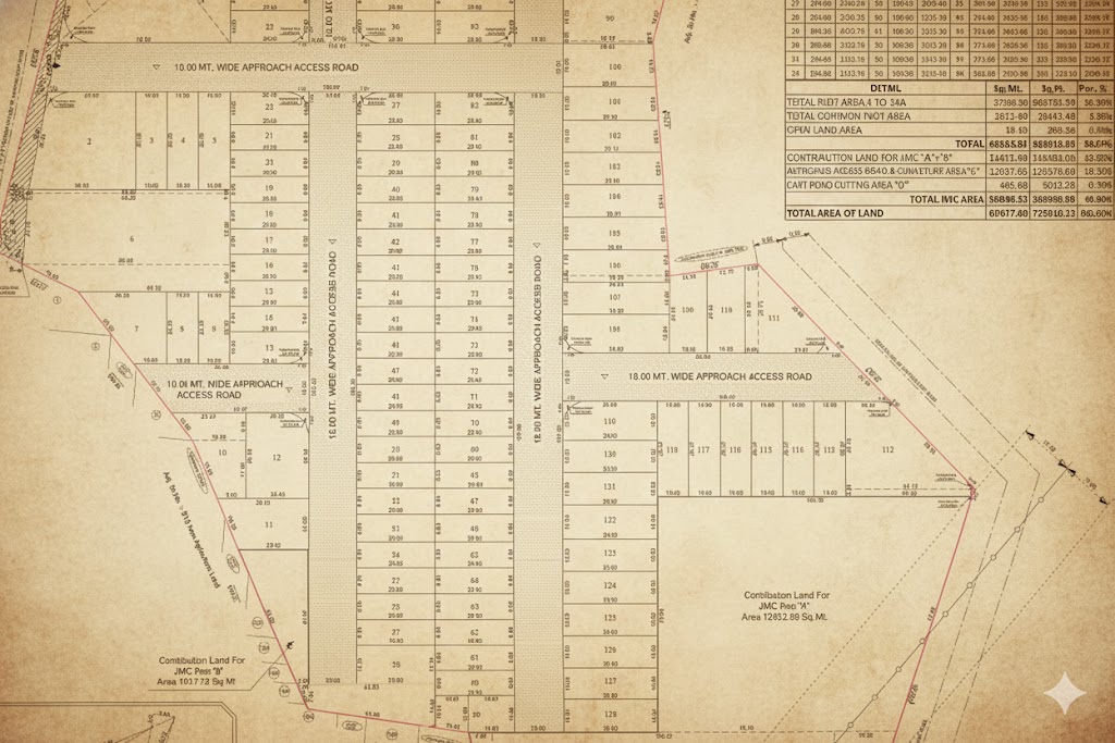
See how we transform traditional land documentation into immersive 3D experiences
"Stunningly Better! Our clients now understand plot layouts instantly."
Join hundreds of real estate developers who have modernized their plot viewing experience